ચિત્ર:Europe location N-IRL2.png
આ પૂર્વાવલોકનનું કદ: ૮૦૦ × ૬૦૦ પિક્સેલ. અન્ય આવર્તનો: ૩૨૦ × ૨૪૦ પિક્સેલ | ૬૪૦ × ૪૮૦ પિક્સેલ | ૧,૦૨૪ × ૭૬૮ પિક્સેલ | ૧,૨૮૦ × ૯૬૦ પિક્સેલ | ૧,૬૦૦ × ૧,૨૦૦ પિક્સેલ.
મૂળભુત ફાઇલ (૧,૬૦૦ × ૧,૨૦૦ પીક્સલ, ફાઇલનું કદ: ૭૭૨ KB, MIME પ્રકાર: image/png)
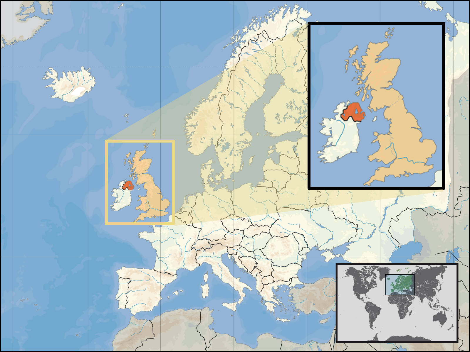
| વર્ણન | Location of Northern Ireland in the UK and Europe, on terrain map showing surface and underwater contour areas. | |||
| તારીખ | ||||
| સ્રોત | Derived from Wikimedia Commons image of original work forming part of the "Europe location" map series created by David Liuzzo: derived from Image:Europe_location_N-IRL.png. | |||
| લેખક | uploaded by User:Kmusser (excerpt from User:David_Liuzzo) | |||
| પરવાનગી (આ ફાઈલનો ફરી ઉપયોગ) |
|
|||
| અન્ય આવૃત્તિઓ |
|


ફાઇલનો ઇતિહાસ
તારીખ/સમય ઉપર ક્લિક કરવાથી તે સમયે ફાઇલ કેવી હતી તે જોવા મળશે.
| તારીખ/સમય | લઘુચિત્ર | પરિમાણો | સભ્ય | ટિપ્પણી | |
|---|---|---|---|---|---|
| વર્તમાન | ૦૦:૩૫, ૩૦ સપ્ટેમ્બર ૨૦૦૮ | | ૧,૬૦૦ × ૧,૨૦૦ (૭૭૨ KB) | Kmusser | {{Information |Description= Location of Northern Ireland in the UK and Europe, on terrain map showing surface and underwater contour areas. |Source=Derived from Wikimedia Commons image of original work forming part of the "Europe location" map |
ફાઇલનો વપરાશ
આ ફાઇલ માં નીચેનું પાનું વપરાયેલું છે:
ફાઇલનો વ્યાપક ઉપયોગ
નીચેની બીજી વિકિઓ આ ફાઈલ વાપરે છે:
- an.wikipedia.org પર વપરાશ
- az.wiktionary.org પર વપરાશ
- en.wikipedia.org પર વપરાશ
- eu.wiktionary.org પર વપરાશ
- fa.wikipedia.org પર વપરાશ
- fr.wikipedia.org પર વપરાશ
- gom.wikipedia.org પર વપરાશ
- gv.wikipedia.org પર વપરાશ
- id.wikipedia.org પર વપરાશ
- kn.wikipedia.org પર વપરાશ
- ko.wikipedia.org પર વપરાશ
- ml.wikipedia.org પર વપરાશ
- nds-nl.wikipedia.org પર વપરાશ
- nov.wikipedia.org પર વપરાશ
- pl.wikipedia.org પર વપરાશ
- pl.wiktionary.org પર વપરાશ
- simple.wikipedia.org પર વપરાશ
- sr.wikinews.org પર વપરાશ
- tet.wikipedia.org પર વપરાશ
- th.wikipedia.org પર વપરાશ
- tpi.wikipedia.org પર વપરાશ
- tr.wiktionary.org પર વપરાશ
- war.wikipedia.org પર વપરાશ