ચિત્ર:Flag of FATA.svg

Size of this PNG preview of this SVG file: ૭૯૩ × ૫૨૮ પિક્સેલ. અન્ય આવર્તનો: ૩૨૦ × ૨૧૩ પિક્સેલ | ૬૪૦ × ૪૨૬ પિક્સેલ | ૧,૦૨૪ × ૬૮૨ પિક્સેલ | ૧,૨૮૦ × ૮૫૨ પિક્સેલ | ૨,૫૬૦ × ૧,૭૦૫ પિક્સેલ.
મૂળભુત ફાઇલ (SVG ફાઇલ, માત્ર ૭૯૩ × ૫૨૮ પીક્સલ, ફાઇલનું કદ: ૧૮૫ KB)
સારાંશ:
| વર્ણન |
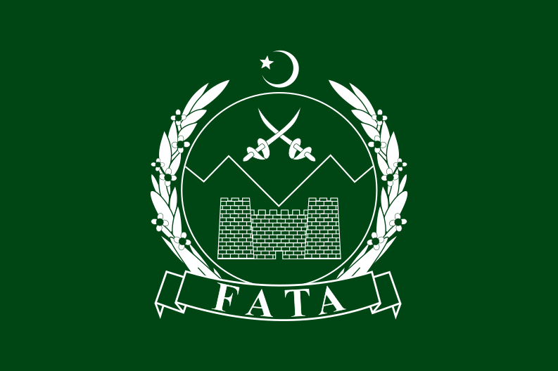
English: Flag of the Federally Administered Tribal Areas (FATA) of Pakistan.
|
| સ્રોત | [1] |
| લેખક | MS05L |
![[1]](http://2.bp.blogspot.com/-zE2qkjmB7ic/Tbv1YLZAT4I/AAAAAAAAACg/9Oio4_YCCWQ/s1600/PAKISTANI+FLAGS+WALL+PAPERS+%252814%2529.jpg)
પરવાના
હું, આ કાર્યનો પ્રકાશનાધિકાર ધારક, તેને નીચેના પરવાનાઓ હેઠળ અહીં પ્રકાશીત કરૂં છું:

|
આ રચનાની નકલ કરવા, વિતરણ અને સુધારો કરવા માટે GNU Free Documentation License, આવૃત્તિ 1.2 કે અન્ય આગળની આવૃત્તિ Free Software Foundation હેઠળ પરવાનગી છે; જેમાં કોઈ Invariant Sections, no Front-Cover Texts, and no Back-Cover Texts નથી. આ પરવાનાની પ્રત GNU Free Documentation License વિભાગમાં છે. |
આ ફાઈલ વપરાશની પરવાનગી : Creative Commons Attribution-Share Alike 3.0 Unported license.
- તમે મુક્ત છો:
- વહેંચવા – નકલ કરવા, વિતરણ કરવા અને રચનાઓ મોકલવા
- રીમિક્સ કરવા કે મઠારવા – રચના અપનાવવા
- નીચેની શરત હેઠળ:
- આરોપણ – તમારે આ રચનાનો ઉપયોગ કરવા માટે લેખક કે પ્રકાશન અધિકાર ધારકની યોગ્ય માહિતી, પરવાનગી (લાયસન્સ)ની કડી અને તેમાં ફેરફાર કર્યો હોય તો તેનો ઉલ્લેખ કરવો જ પડશે. તમે આ સત્તા અનુસાર જ આ રચનાનો પ્રયોગ થવો જોઈએ, પણ તેઓ તમને અથવા તમારા ઉપયોગ સાથે સંમત થાય છે તે રીતે નહીં.
- શેર- અલાઈક (બિન ભેદભાવ વહેંચણી) – તમે જો આ રચનાને બદલશો, તેમાં ફેરફાર કરશો અથવા તેના પર આધારિત કોઇ કાર્ય બનાવશો તો તમારે પરિણામી કાર્યને તે જ અથવા અનુરૂપ પરવાનગી હેઠળ જ પ્રકાશિત કરવું પડશે.
તમે તમારી પસંદગીનો પરવાનો પસંદ કરી શકો છો.
ફાઇલનો ઇતિહાસ
તારીખ/સમય ઉપર ક્લિક કરવાથી તે સમયે ફાઇલ કેવી હતી તે જોવા મળશે.
| તારીખ/સમય | લઘુચિત્ર | પરિમાણો | સભ્ય | ટિપ્પણી | |
|---|---|---|---|---|---|
| વર્તમાન | ૦૯:૨૪, ૭ મે ૨૦૧૨ | | ૭૯૩ × ૫૨૮ (૧૮૫ KB) | Fry1989 | fix elements |
| ૧૯:૫૪, ૭ એપ્રિલ ૨૦૧૧ |  | ૭૯૫ × ૫૩૦ (૧૬૧ KB) | MS05L | {{Information |Description ={{en|1=Flag of Federally Administered Tribal Areas of Pakistan.}} {{de|1=Flagge der [[:de:Stammesgebiete unter Bundesverwaltung|Stammesgebiete unter Bundesverwaltu |
ફાઇલનો વપરાશ
આ ફાઇલને કોઇ પાનાં વાપરતા નથી.
ફાઇલનો વ્યાપક ઉપયોગ
નીચેની બીજી વિકિઓ આ ફાઈલ વાપરે છે:
- af.wikipedia.org પર વપરાશ
- ar.wikipedia.org પર વપરાશ
- arz.wikipedia.org પર વપરાશ
- azb.wikipedia.org પર વપરાશ
- be.wikipedia.org પર વપરાશ
- bg.wikipedia.org પર વપરાશ
- bn.wikipedia.org પર વપરાશ
- ca.wikipedia.org પર વપરાશ
- ceb.wikipedia.org પર વપરાશ
- ckb.wikipedia.org પર વપરાશ
- cs.wikipedia.org પર વપરાશ
- de.wikipedia.org પર વપરાશ
- en.wikipedia.org પર વપરાશ
- Kunar Province
- List of Pakistani flags
- List of political and geographic subdivisions by total area from 20,000 to 50,000 square kilometers
- List of political and geographic subdivisions by total area (all)
- List of political and geographic subdivisions by total area from 20,000 to 30,000 square kilometers
- Shahgai
- Federally Administered Tribal Areas
- Ghalanai
- Persecution of Christians in Pakistan
- Template:Country data Federally Administered Tribal Areas
- Datakhel
- Nawagai, Bajaur
- Baizai
- Lakaro
- Inayat Killi
- User:Hosmich/Twin flags
- User:Hosmich/Roundels
- Jamaat-ul-Ahrar
- List of flags with English-language text
- Akhorwal
- Haider Khel
- 2017 Pakistani census
- Serwekai
- Ghozgarhy
- Bar Kamar
- Chachagai
- Lora Miana
- Halim Zai Shani Khel
- Shahid Banda
આ ફાઇલના વધુ વૈશ્વિક વપરાશ જુઓ.